The Baja California Peninsula in northwestern Mexico is a captivating region known for its diverse landscapes, unique ecosystem, and rich history. Bordered by the United States to the north, the Gulf of California to the east, and the Pacific Ocean to the south and west, this slender strip of land stretches approximately 760 miles (1,220 km) long and varies in width from 25 to 150 miles (40 to 240 km). Divided into the Mexican states of Baja California and Baja California Sur, the peninsula offers a unique blend of desert, mountains, and coastal environments.
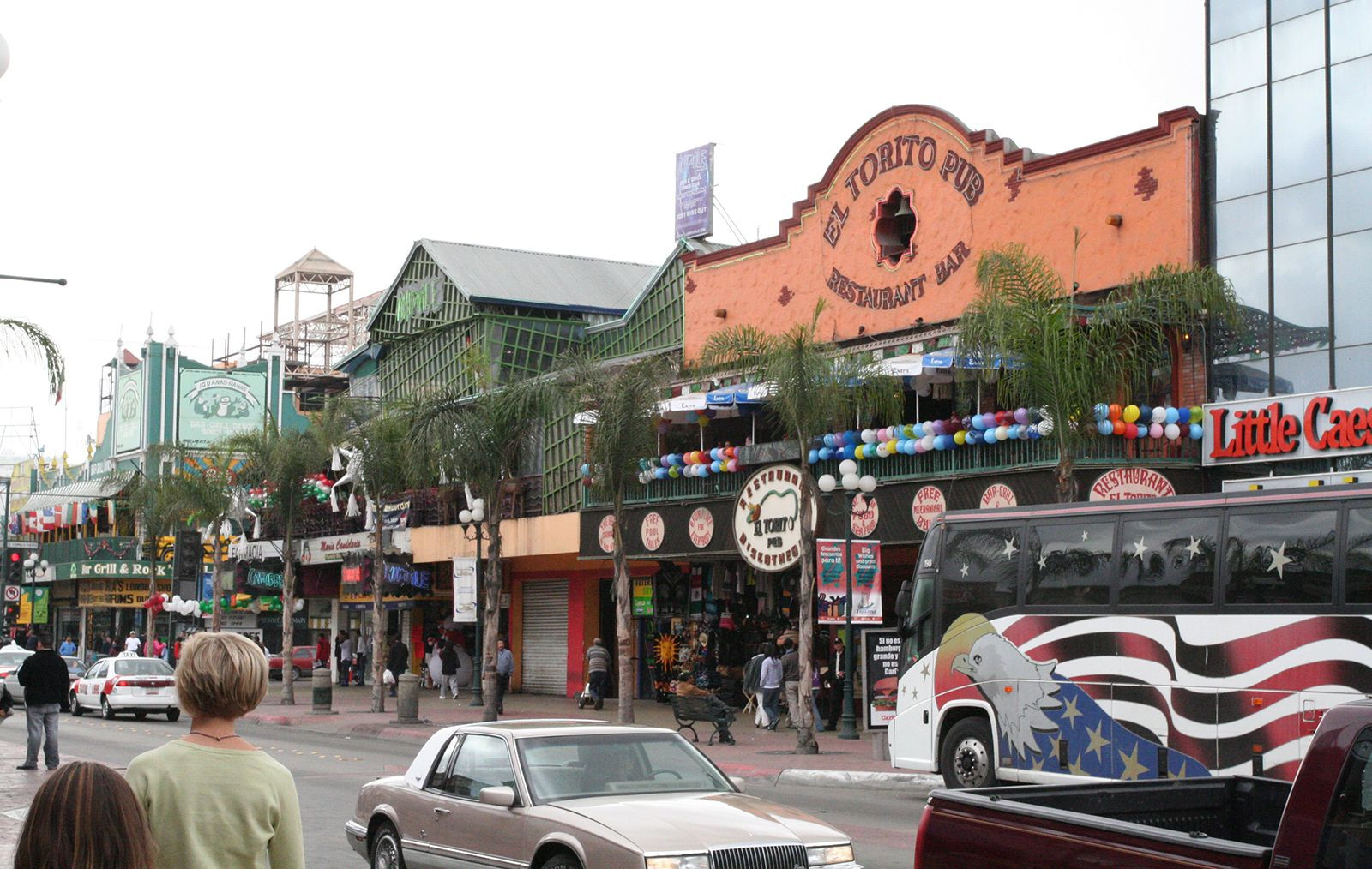 Tijuana, Mexico, on the Baja California peninsula.
Geography and Geology of Baja California Peninsula
The peninsula’s defining geological feature is a dramatic fault block. This geological structure creates a landscape that rises sharply from the Gulf of California and gently slopes towards the Pacific Ocean. A rugged mountain chain, running northwest to southeast, crowns the peninsula. The granitic Juárez and San Pedro Mártir mountains dominate the northern landscape, with the latter reaching an impressive elevation of 10,154 feet (3,095 meters). Further south, volcanoes and expansive lava flows shape the central region, culminating in a subpeninsula westward. Notable volcanic peaks include Las Tres Vírgenes, which last erupted in 1746.
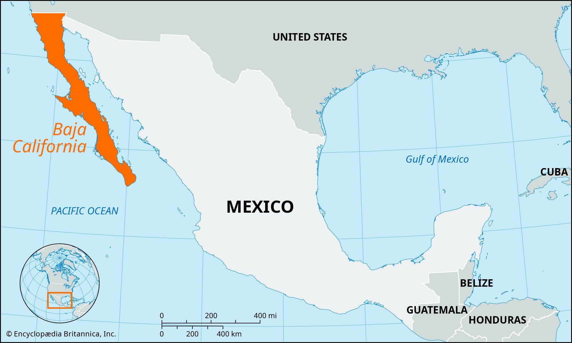 Locator map of Baja California, Mexico
South of La Paz, the mountainous terrain gives way to a narrow isthmus before rising again into a final granite range. Extensive plains stretch along the Pacific coast from near La Paz to Ojo de Liebre Lagoon. The Colorado River, flowing intermittently along the northeastern edge, forms a delta at the head of the Gulf of California. Baja California boasts over 2,038 miles (3,280 km) of coastline, dotted with numerous islands and offering sheltered deepwater harbors on both the western and gulf sides. Aside from the Colorado River, surface water is scarce, limited to a few streams in the northwest and south, and occasional springs creating oases throughout the arid landscape.
Climate and Biodiversity of the Baja Peninsula
Baja California’s varied climate, divided into three distinct zones, significantly influences its plant and animal life. The northwestern corner experiences winter storms bringing rain and fog, resulting in precipitation levels ranging from 5 to 11 inches (130 to 280 mm) annually. This region’s vegetation and wildlife resemble those of Southern California.
The central zone, extending south from El Rosario and east of the Juárez and San Pedro Mártir mountains, encompasses a vast, arid desert. While parts are barren, much of it supports unique desert flora adapted to harsh conditions. Iconic plants like the giant cardon cactus, the boojum tree, and the elephant tree thrive in this environment.
South of La Paz, a tropical climate prevails, with late summer rains delivering an average of 5 inches (130 mm) of precipitation along the coast and up to 25 inches (635 mm) in the mountains. Desert shrubs dominate the lowlands, while semi-deciduous forests flourish in the wetter mountain regions. Temperatures across the peninsula range from below freezing in winter to over 100°F (38°C) in summer. The gulf coast experiences hot, humid summers, while the Pacific side remains cooler.
History and Culture of Baja California
The Baja California peninsula’s human history dates back thousands of years, with evidence of early inhabitants arriving around 9,000 to 10,000 years ago. When Spanish explorers arrived in 1533, they encountered some of the most primitive cultures in the Americas. These indigenous groups, numbering between 60,000 and 70,000, lived off the land through hunting, fishing, and gathering. Permanent Spanish settlements began with Jesuit missionaries establishing a mission in Loreto in 1697. While the missionaries introduced agriculture and livestock husbandry, introduced diseases decimated the native population. Franciscans replaced the Jesuits in 1768, followed by Dominicans who focused on converting northern tribes. Baja California achieved independence from Spain in 1822. Following the Mexican-American War (1846-1848), the peninsula was officially designated as part of Mexico.
Modern Development in Baja California
Significant infrastructure development, including highways, harbors, and airfields, began in the 1960s. The completion of a 1,061-mile (1,708-km) highway connecting Tijuana and Cape San Lucas in 1973 opened up the peninsula, leading to growth in agriculture, mining, and tourism. Today, Baja California, particularly its northern half, continues to experience economic expansion driven by these industries.